
Jan 25, 2023
[NEWS UPDATE @ 1845Z] – Great progress is being made. Using the Garmin tracker we can now see the Marama and Bouvet together in the one image. In an audio clip, Otis NP4G/MM mentions the seas are about 5m high with an estimated 900 miles to go before approaching Bouvet in 5-6 days time.
- LISTEN TO NP4G/MM ON THE WAY TO BOUVET
- LISTEN TO LB1QI/MM ON THE WAY TO BOUVET
- LISTEN TO WD5COV/MM ON THE WAY TO BOUVET

[Mise à Jour @ 1845Z] – De grands progrès sont réalisés. Utilisation de la Traqueur Garmin nous pouvons maintenant voir le Marama et le Bouvet ensemble sur une seule image. Dans un clip audio, Otis NP4G/MM mentionne que la mer est à environ 5 m de haut avec environ 900 milles à parcourir avant d’approcher Bouvet dans 5 à 6 jours.
- ÉCOUTEZ NP4G/MM SUR LE CHEMIN DU BOUVET
- < strong>ÉCOUTEZ LB1QI/MM SUR LE CHEMIN DU BOUVET
- < strong>ÉCOUTEZ WD5COV/MM SUR LE CHEMIN DU BOUVET
![]()
Info de la Source * ICI


 After a 19 hours flight, Volker did land at Ushuaia (
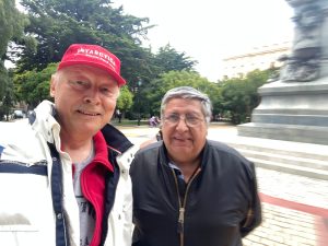 Actually, Volker is embarked on a cruise ship as a lecturer and Tour Guide (no possibility for Radio… ) at an Antarctica expedition. The trip is including Argentina, Chile, South Shetland Islands and Antarctic Peninsula and will last till Feb. 18th, 2023.
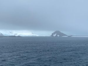 Yesterday, jan 21st, the Polar ship passed near Half Moon Island where the Argentine Summer Station Teniente Camara (


