
FO/F6BCW Huahine Island French Polynesia
2023-03-06 19:05:40
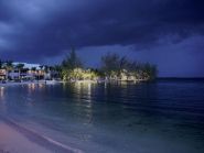
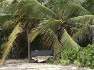
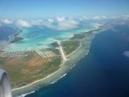
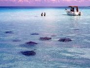
Didier, F6BCW will be active from Huahine Island, IOTA OC – 067, French Polynesia, May – October 2023.
Version traduite via Google Translate
Didier, F6BCW sera actif depuis l’île de Huahine, IOTA OC – 067, Polynésie française, mai – octobre 2023.